|
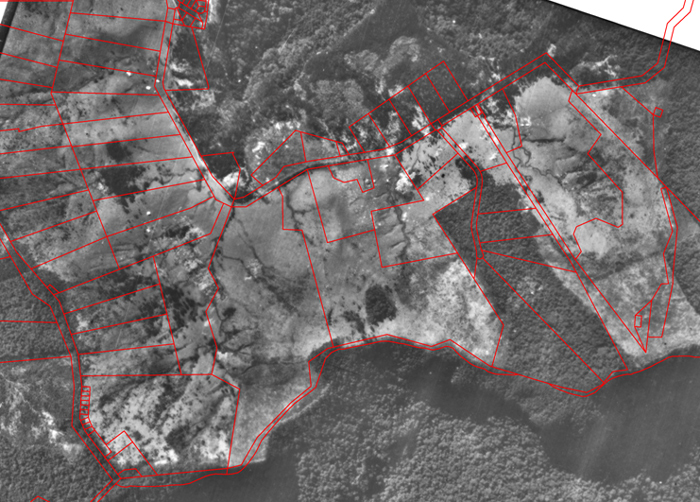
We are using a range of techniques, including both on-ground photography (A) and aerial photography (B), to meet different objectives.
A. On-ground photography
Photopoint monitoring at site and microsite scales can be a simple, relatively quick, reliable and inexpensive way of measuring site changes occurring over time in many ecological restoration projects. It requires relatively little technical skill, can be repeated consistently with care, has little impact on the site compared with more rigorous quantitative techniques, can valuably complement other monitoring tools, and can be a useful means of communicating progress to project partners, granting bodies and the community.
Its limitations, on the other hand, are that it detects only what is discernable from the position of the camera, can only be semi-quantitative at best, is silent on causation, and any strict monitoring schedule may be disrupted by adverse weather conditions.
Accepting these limitations, we believe photopoint monitoring at sites can provide a useful adjunct to other more quantitative approaches for monitoring the progress of assisted natural regeneration.
Our photopoint monitoring objectives are limited and restricted to obtaining visual measures or records of:
- Native plant growth (productivity) through changes in plant heights in regenerating communities at a site scale of ~10-100 m at 12-month intervals for a period of 10–20 years. Regular monitoring after the baseline is established should start after individual plant heights exceed 0.5 m given that average growth rates on skeletal soils rarely exceed 10–30 cm/quarter
- Recruitment and survival of native species by comparing the density of plant markers representing new recruits at a site with the density of surviving plants particularly after they reach ≥ 0.5 m in height
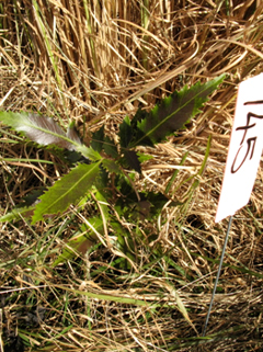
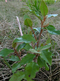
- relative diversity and composition of regrowth by the presence or absence of species clearly identifiable in photographs
- weed control (invasion/eradication) by changes in density of clearly identifiable weed species (e.g. Aristea ecklonii) or exotic grasses (Setaria, kikuyu, paspalum, dactylus)
- erosion control though changes in ground cover development
- canopy development in critical connectivity bottlenecks that we are restoring
|
Basic Methods
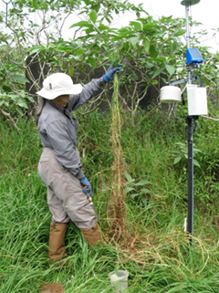
Fixed Photopoints were established for medium to long-term monitoring of site condition in a manner that can be replicated consistently and accurately.
Materials consisted of star pickets and droppers, 50m tape measure, aluminium tags and soft-tie-wire or cattle tags, GPS and camera.
A camera post for the camera position and two Sighter Posts mark the fixed line of sight for viewing. The distance between the camera post and first sighter post is 5–10 m, and the two sighter posts are separated by 15–35m depending on the vegetation type being monitored. The camera is held steady at eye level using a tripod and the field of view fixed by the base of the first sighter post. Results from all photopoints are documented in standardized reports
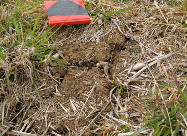
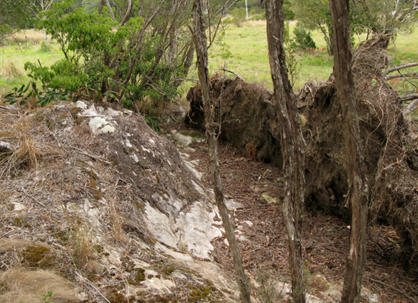
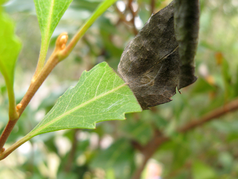
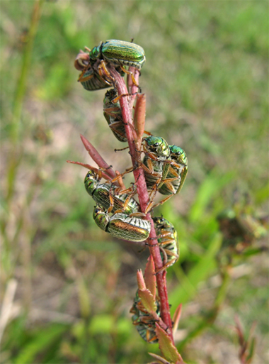
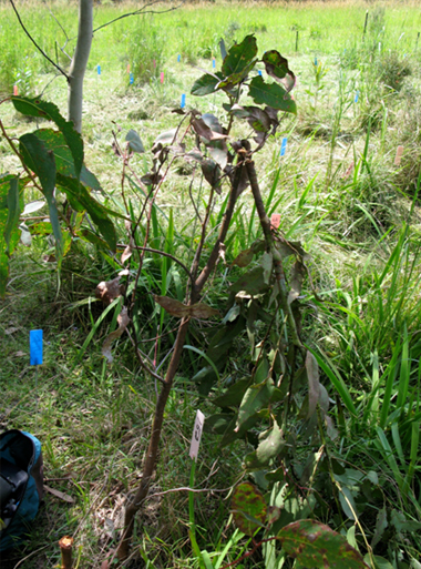
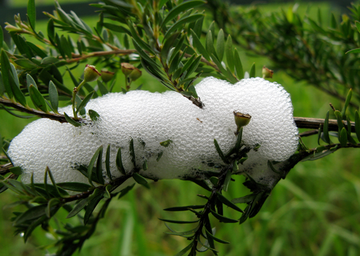
Supplementary photos are taken of features of interest relating to the objectives at each photomonitoring site, e.g. cracking of basalt soil during lengthy dry periods, windthrow of unprotected trees, frost damage to plants, impact of herbivory, rare species of interest etc.
|